Posted on April 10, 2017
To the ends of the known world
I had been to Eleuthera many years ago and had driven most of the island, so Eleuthera was not totally unfamiliar to me. But beyond Cape Eleuthera was unknown territory. Hence the title of this post.
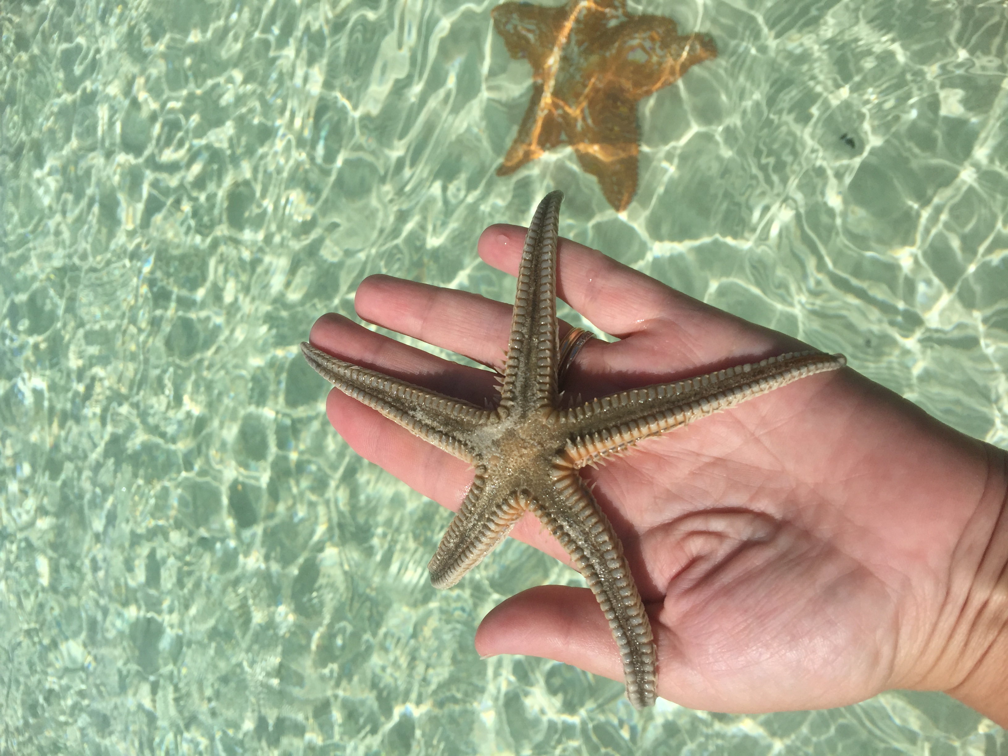
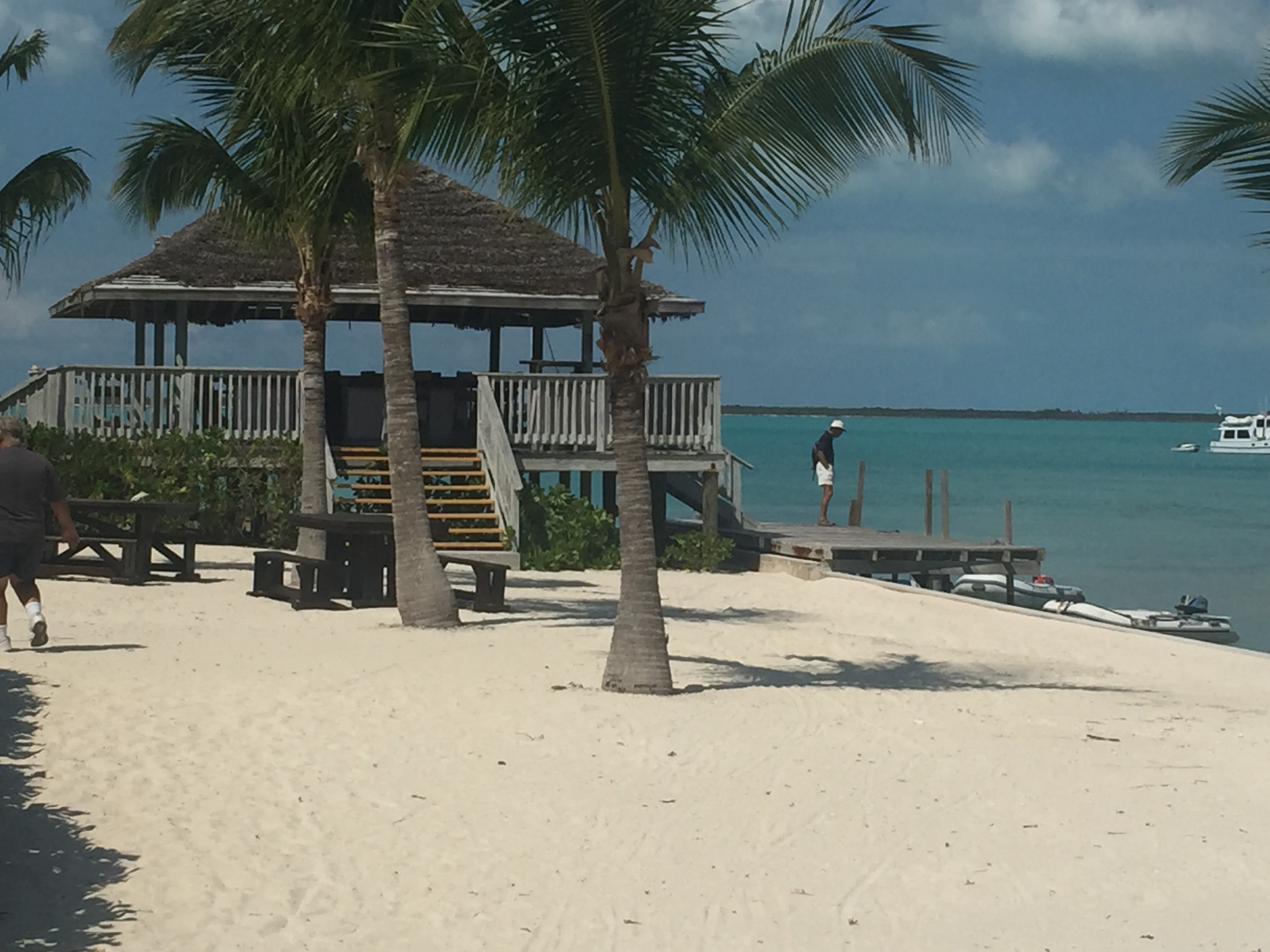
We left Governors Harbour on March 20st, for a five mile run to the excellent beach at Ten Bay, our first real visit to a beach. We anchored about a quarter mile offshore and dinghied into the white sand beach for a walk in the shallow waters. Elena spotted a couple of barracudas and decided she wanted to chase them (fortunately, they were shy barracudas.) In addition, Elena found some starfish that she though was fascinating.
Download and watch Elena chasing the barracudas
We have not swum as much as I had anticipated nor have we had much beach time, even in here in Eleuthera which has some of the world’s best beaches. The water temperature has been between 70 and 75 degrees which neither Elena or I find comfortable. The air temperature has gotten to be about 85 degrees but seldom goes below 70. So while very comfortable when not swimming, the water is not conducive to jumping in the water.
The next day we tried to sail the 20 miles to Rock Sound, but we had almost no wind. After a fair amount of cussing about our scheduling, we started the engine and motored on south. We anchored in the large, but protected, sound, about a quarter mile off the settlement of Rock Sound in 7 feet of water (our draft is 6 feet) and prepared to hold up here for a few days. Weather forecasts call for winds of 20+ knots for several days, so we put out a healthy 100 feet of chain. We were in company with about 20 other boats, most of which were also seeking shelter.
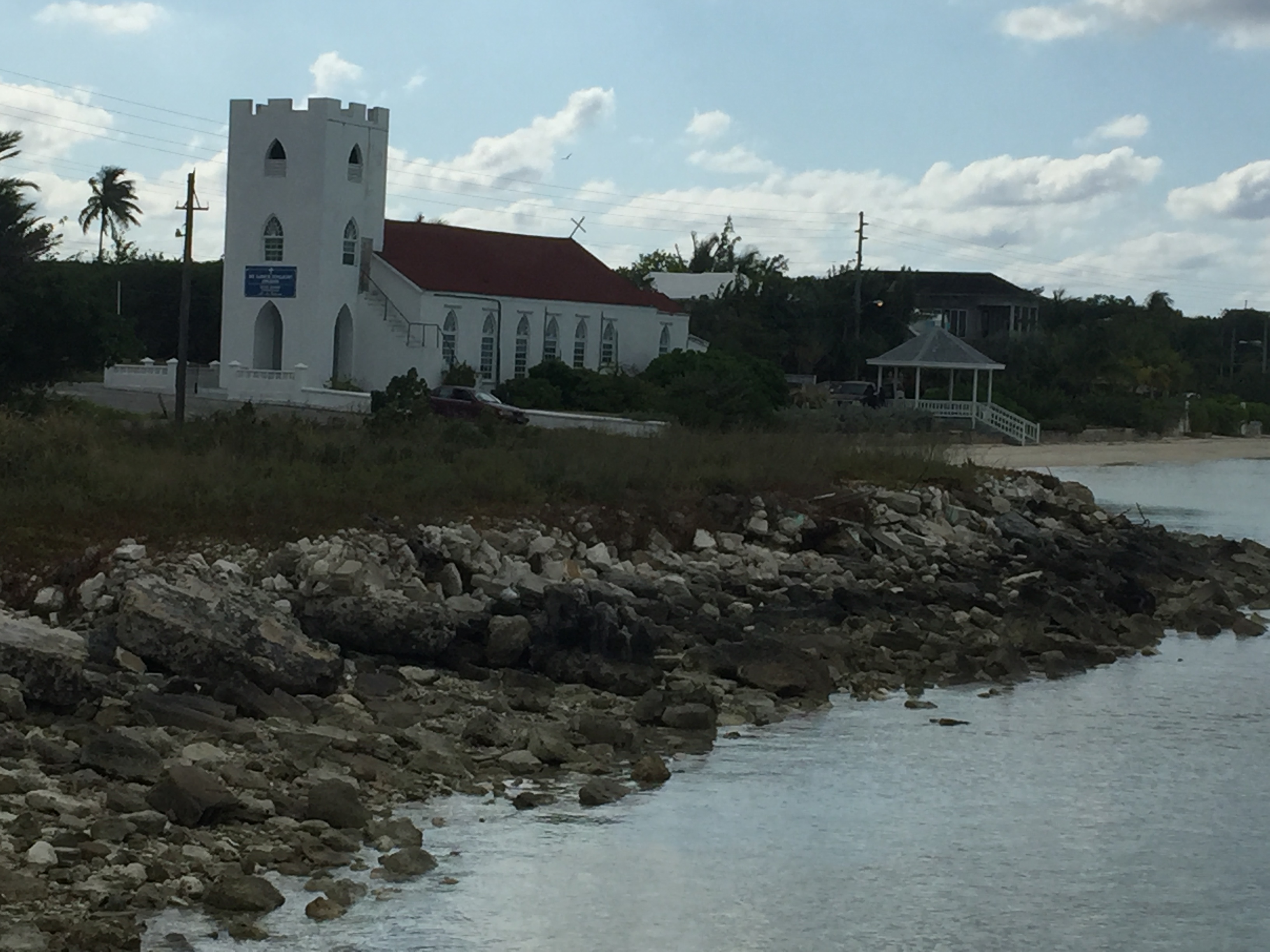
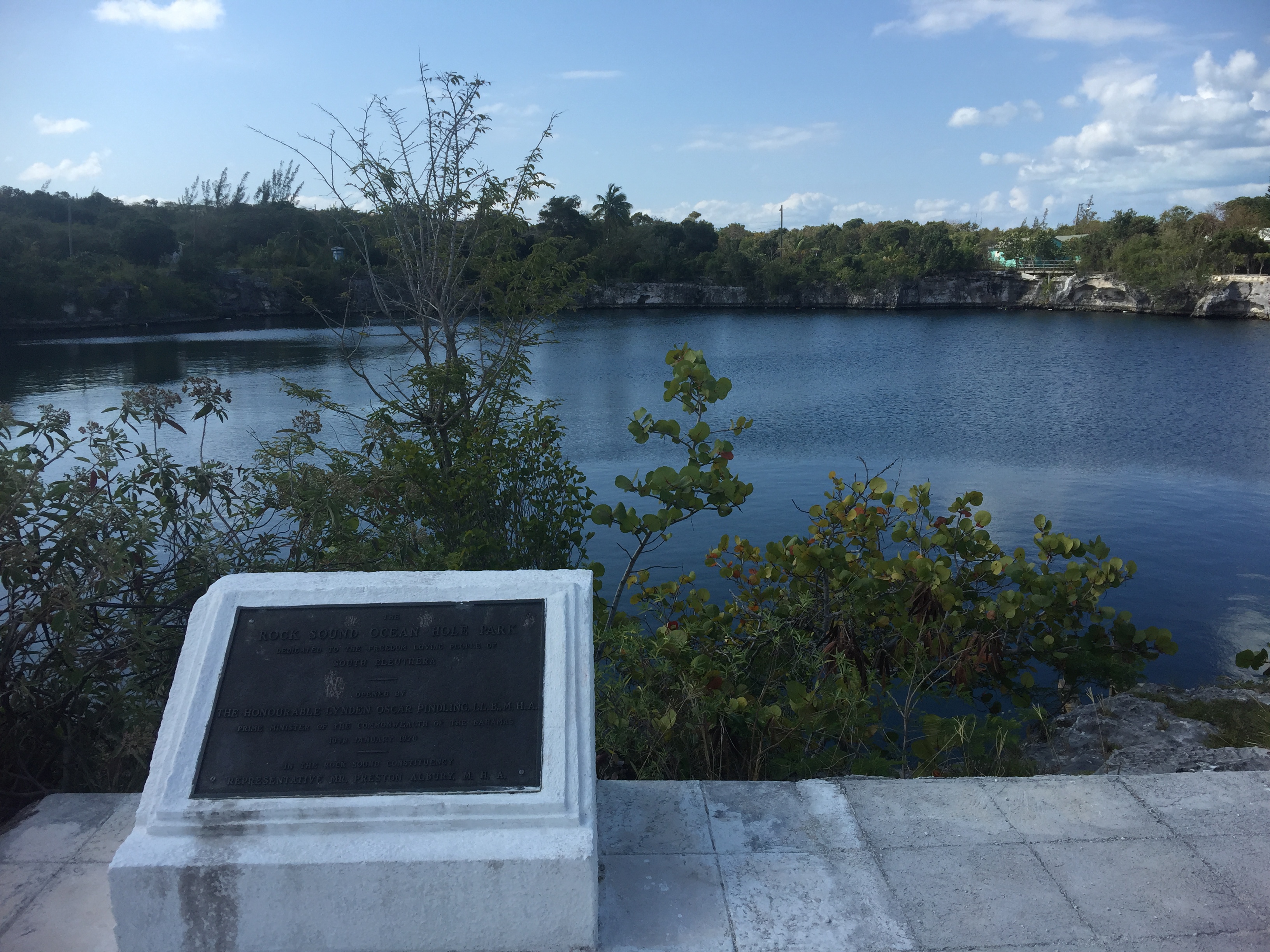
On the 22nd we went ashore to see what there was to see. Rock Sound was a typical Bahamian settlement, perhaps a little more run down than most. We visited the “blue hole”, a large pond, 600 feet deep and fed by ocean waters through underground caves. It was stocked with fish which Elena enjoyed feeding. There was a relatively well stocked supermarket and we restocked the food supply.
With the forecast of high winds, I added an extra bridle to the anchor to spread the stress from the anchor chain to three points. The wind picked up in the evening and blew hard at 20 knots with gusts of 30 knots. We bounced around through the night and all the next day. On the 25th, the wind abated to 15 knots and the boat settled down, but the extra line worked so hard it parted due to chafing. We used the down time to run the watermaker to top off our tanks.
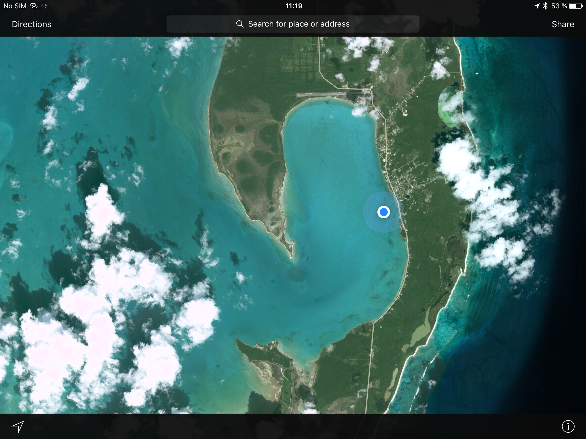
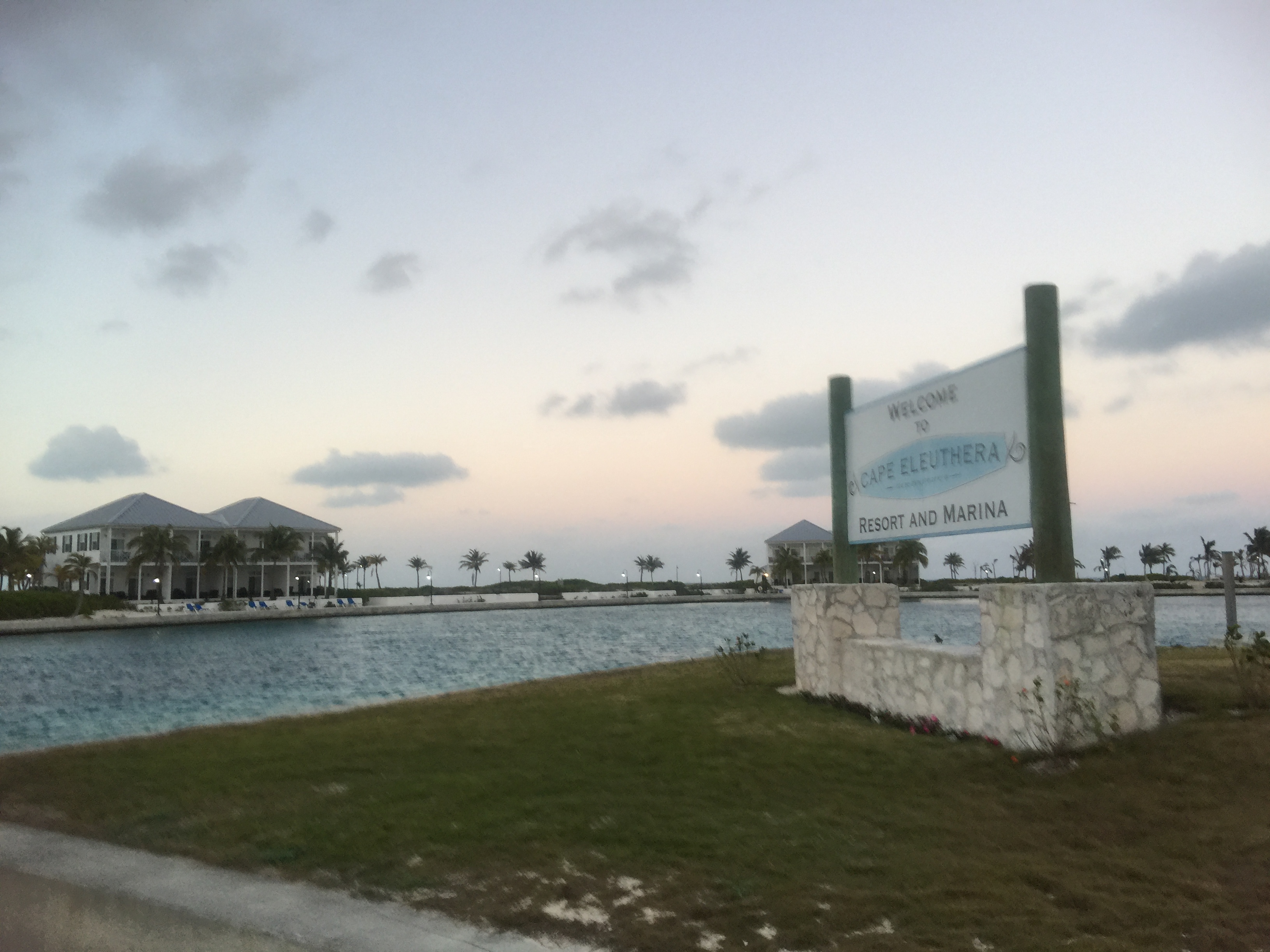
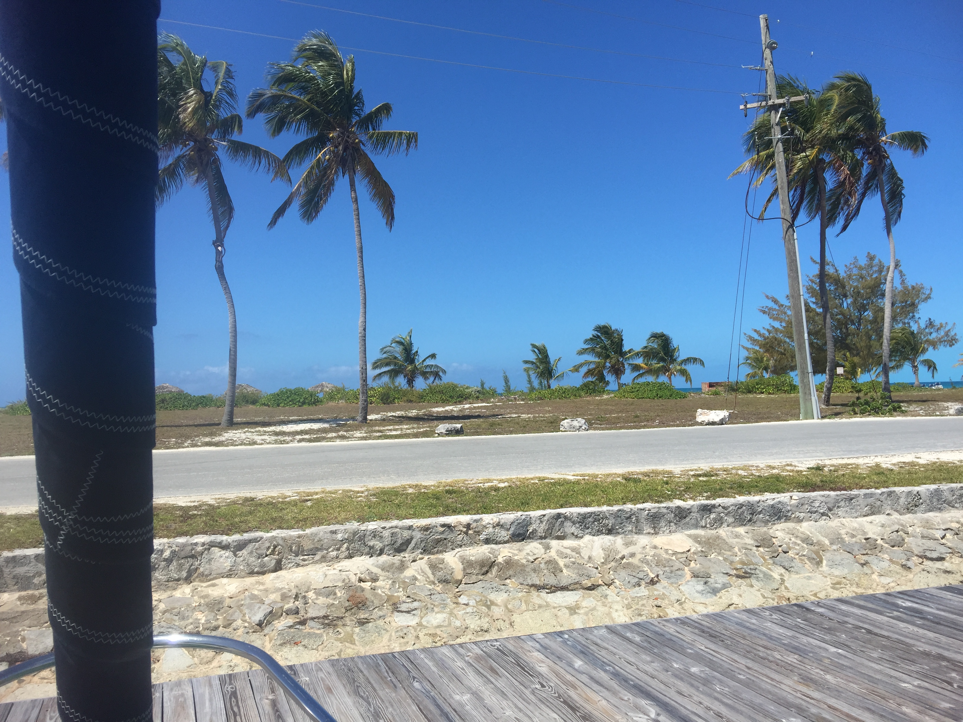
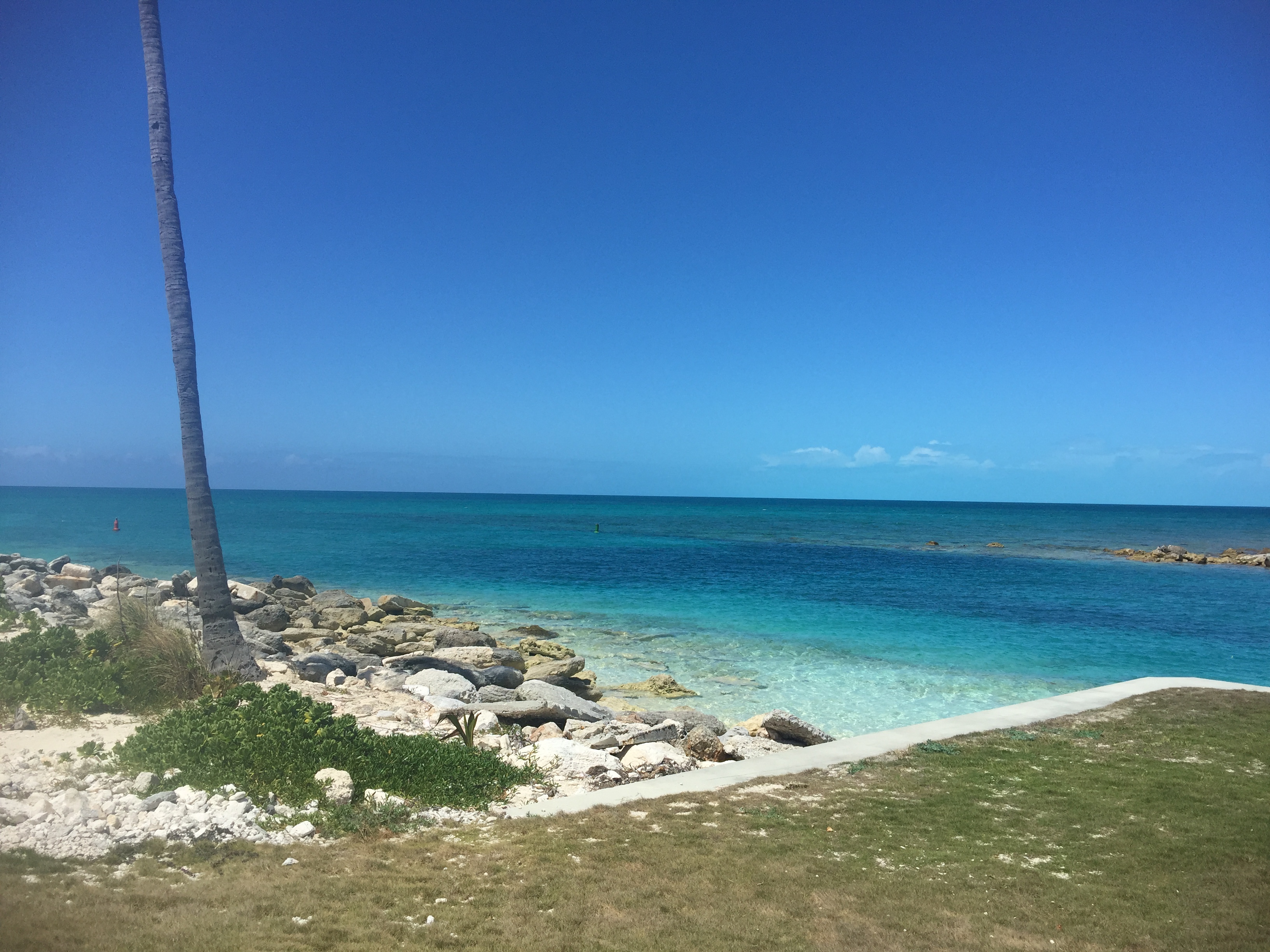
On the 26th we left Rock Sound for the marina and resort at Cape Eleuthera about ten miles from Rock Sound, though a narrow, rock strewed channel. Cape Eleuthera marina is at the southeastern tip of Eleuthera and is a first class operation, with great slips, super beaches, a good restaurant, pool, and good fuel and water. It appears to be almost brand new and we were one of three cruisers there along with a few local boats. The nearest settlement is almost 20 miles away by highway. If you are looking for isolation, this is it.
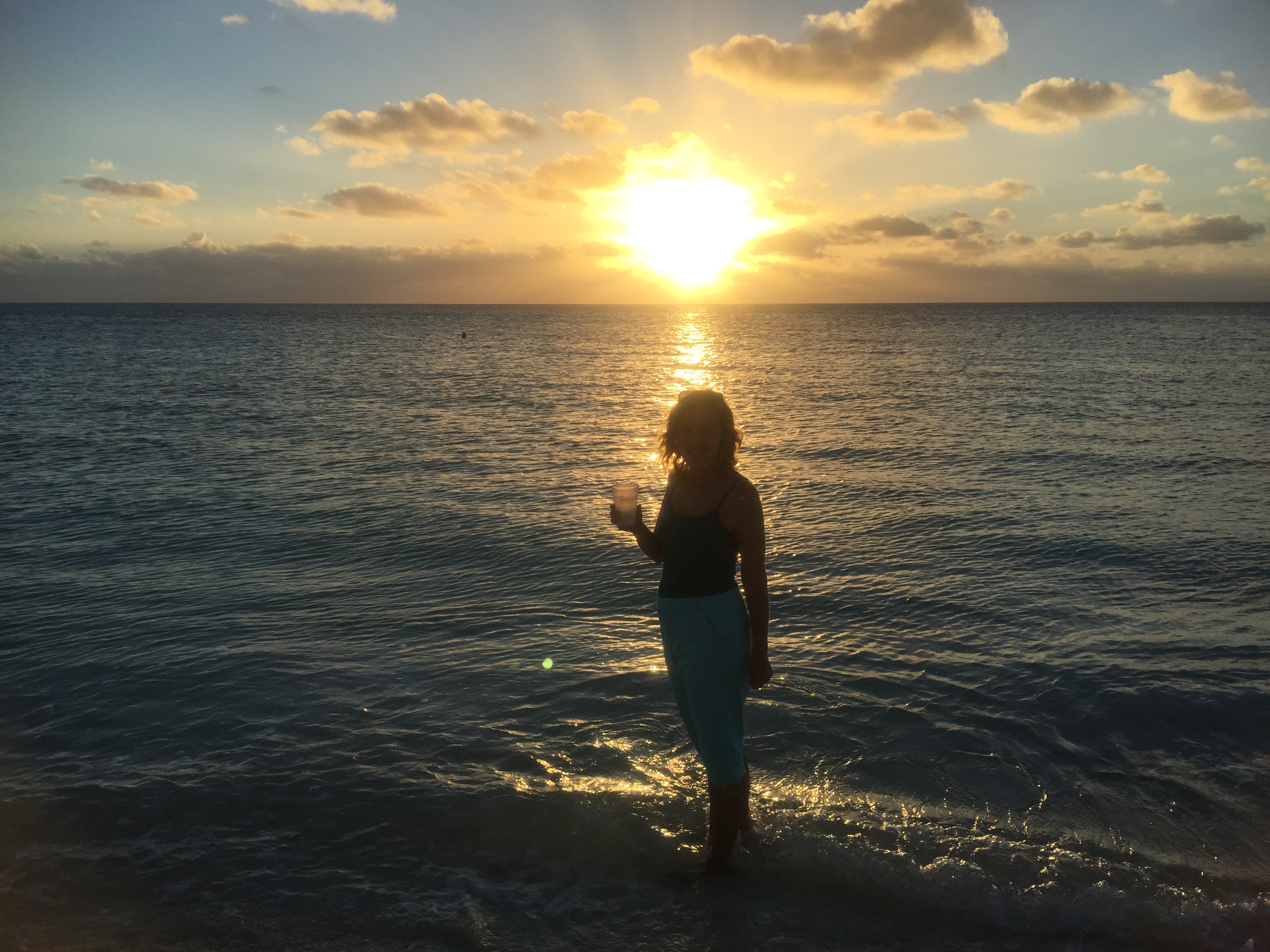
We fixed ourselves margueritas at sunset and went out to the beach to watch the sunset before dinner at the restaurant, a little award for reaching the edge of the “known world”.
The next day we fueled up, hauling two 5 gallon jerry cans back and forth from the fuel dock (it was easier than moving the boat) and filling the water tanks with relatively expensive (60 cents a gallon) water, and getting the laundry done.
At 0850 on March 28th, we were underway for the Exumas. Winds were 8-10 knots from the northeast with seas a mild 2-3 feet. We hoisted all three sails (main, genoa, and staysail) and before long were making our way south at 4.5 knots.
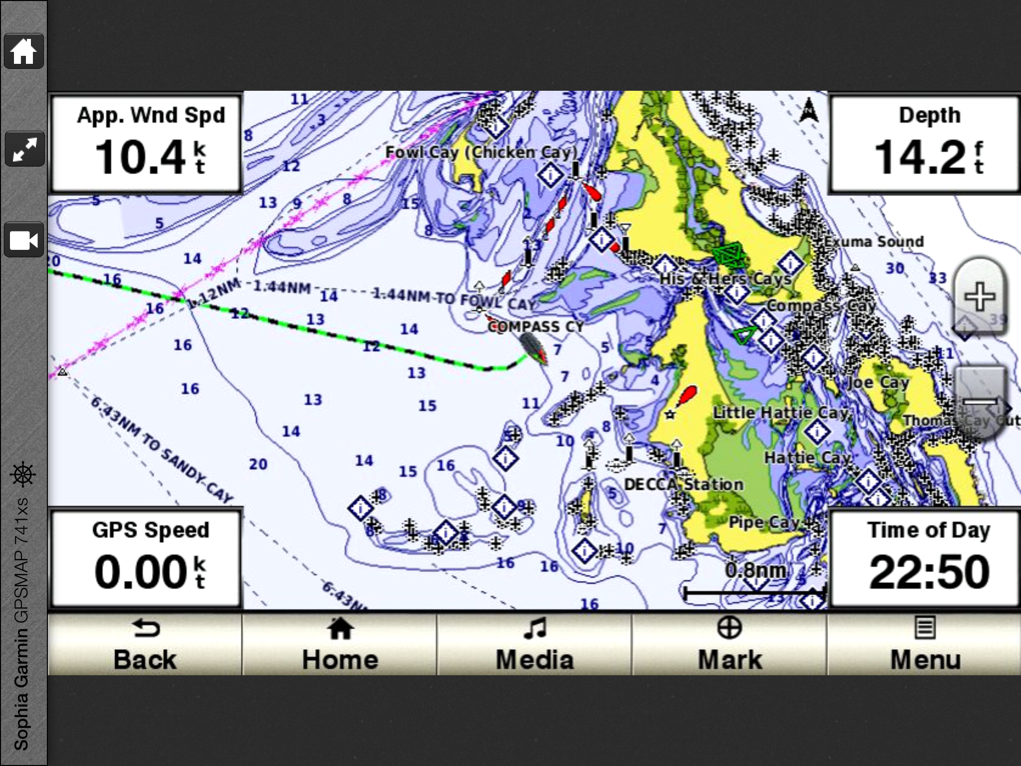
The Exumas are a long string of islands, 100 miles long, with the deep Exuma Sound on the northeast side and the Exuma Bank (part of the Grand Bahama Bank) on the southwest side. Our goal was to get to George town at the southern tip of the Exumas and we wanted to sail as much as possible on the Exuma Banks as they are calmer and relatively shallow (10-15 feet). To get through the islands and reefs, one must go through one of the “cuts”. We chose the most southern we could get to in a day, “Conch Cut” near Compass Cay, 34 miles due south of Cape Eleuthera.
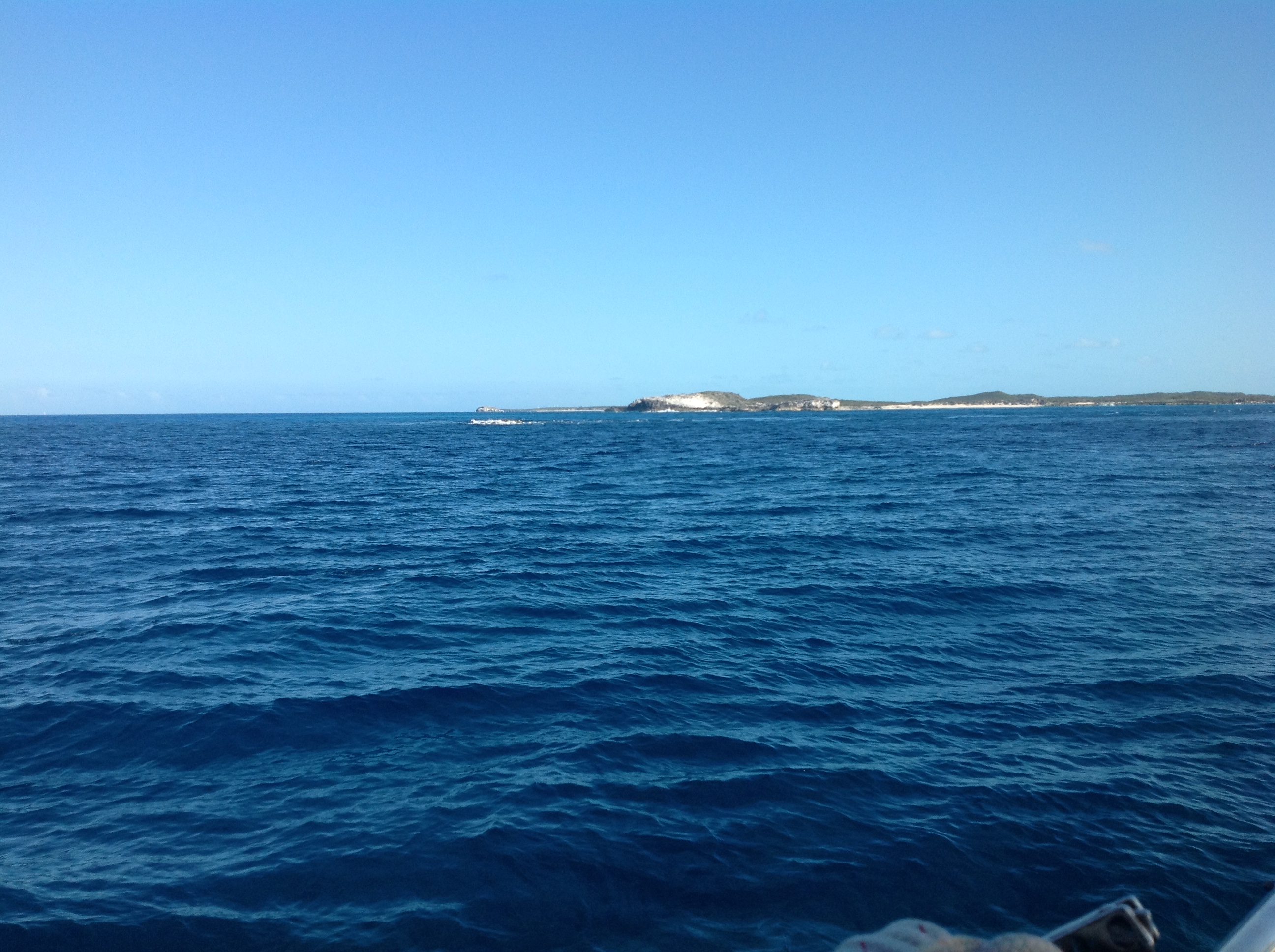
At 6pm we passed though Conch Cut. It was flood tide meaning the current was flowing from the Exuma Sound to the Exuma Banks. The flow kicked up quite a stir and before we knew it we were flying along at 7 knots with the engine at idle. Fortunately, it was a wide cut with few turns (not all of cuts are are so easy) and we were on to the Banks in no time. At 7pm, we anchored off of Compass Cay in 12 feet of calm water.
We broke out the tequila and had another round of margueritas to celebrate our passage into the great unknown.
Great story telling. Sounds wonderful, wish we could have joined you! Safe travels.