Posted on April 10, 2017
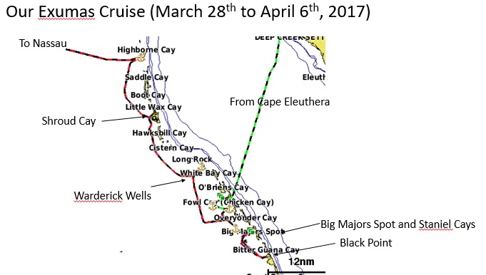
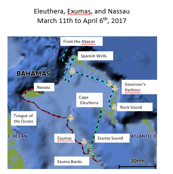
The Exumas and then Northbound
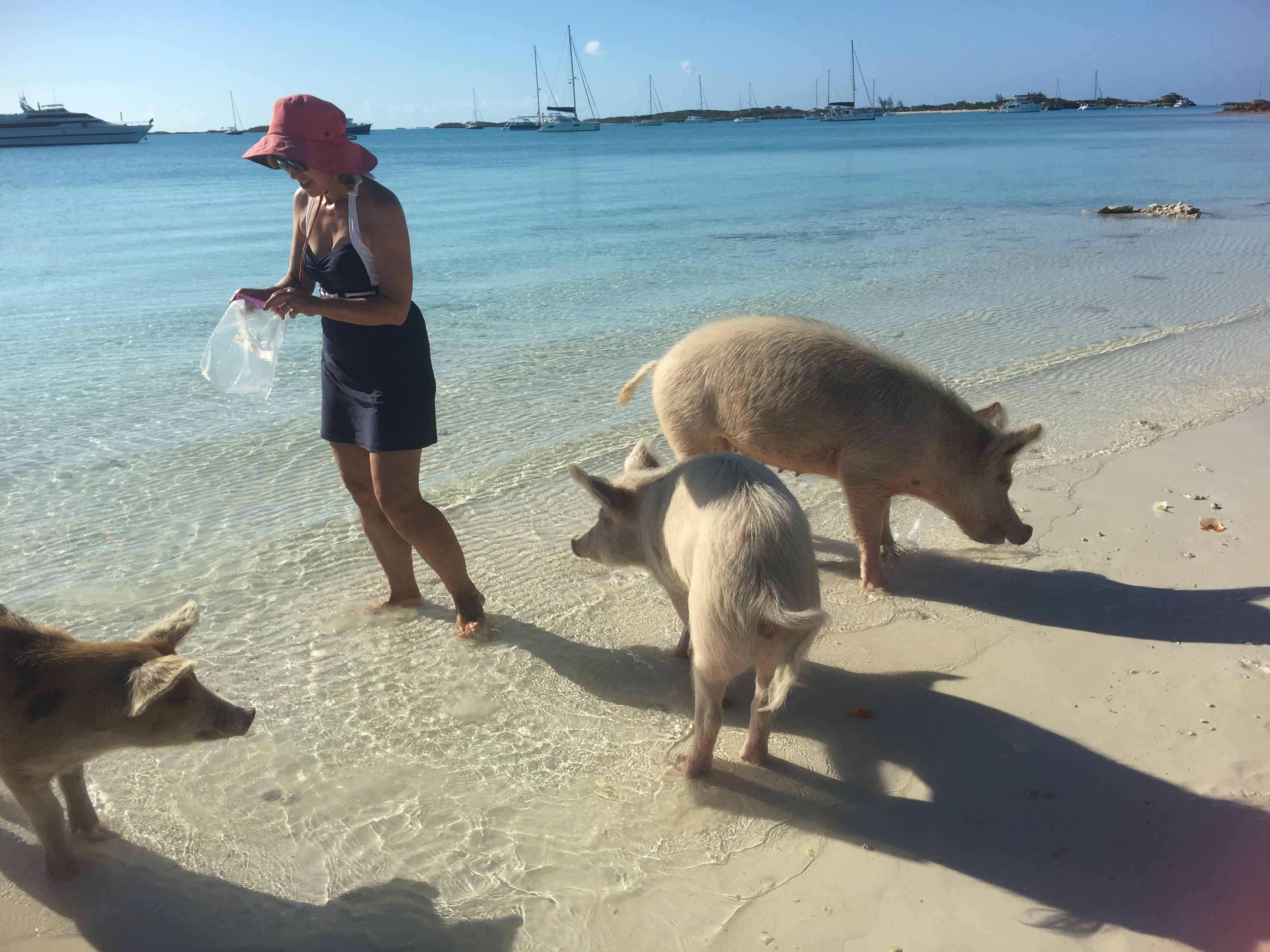
On March 29th, we moved from Compass Cay to Big Majors Spot Cay near Staniel Cay, a distance of about of about 10 miles. This is a popular spot, with protection from north, northwest and east winds. At 1pm we anchored in 12 feet of water in company with about 30 other boats including a number of superyachts. At 6pm we put the dinghy in the water and visited the famous pigs of Staniel Cay. Elena fed them our leftover lettuce and bread of which a few where appreciative, but a few were so contented with the food from our predecessors throughout the day, they did not bother to even wake up from their naps.
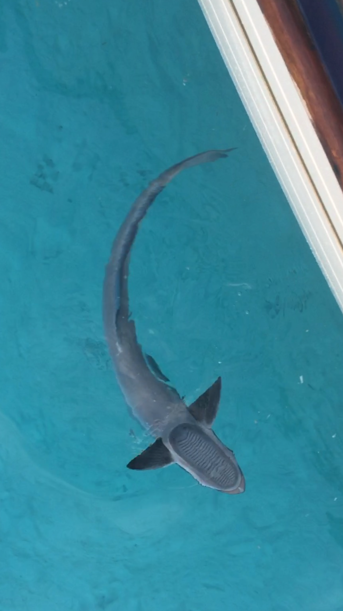
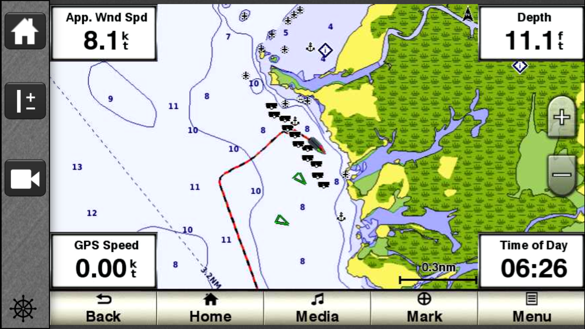
When we got back, we spotted a shark circling under our boat, the first real marine life we have seen in the Bahamas.
Download and watch nurse shark swimming under Sophia
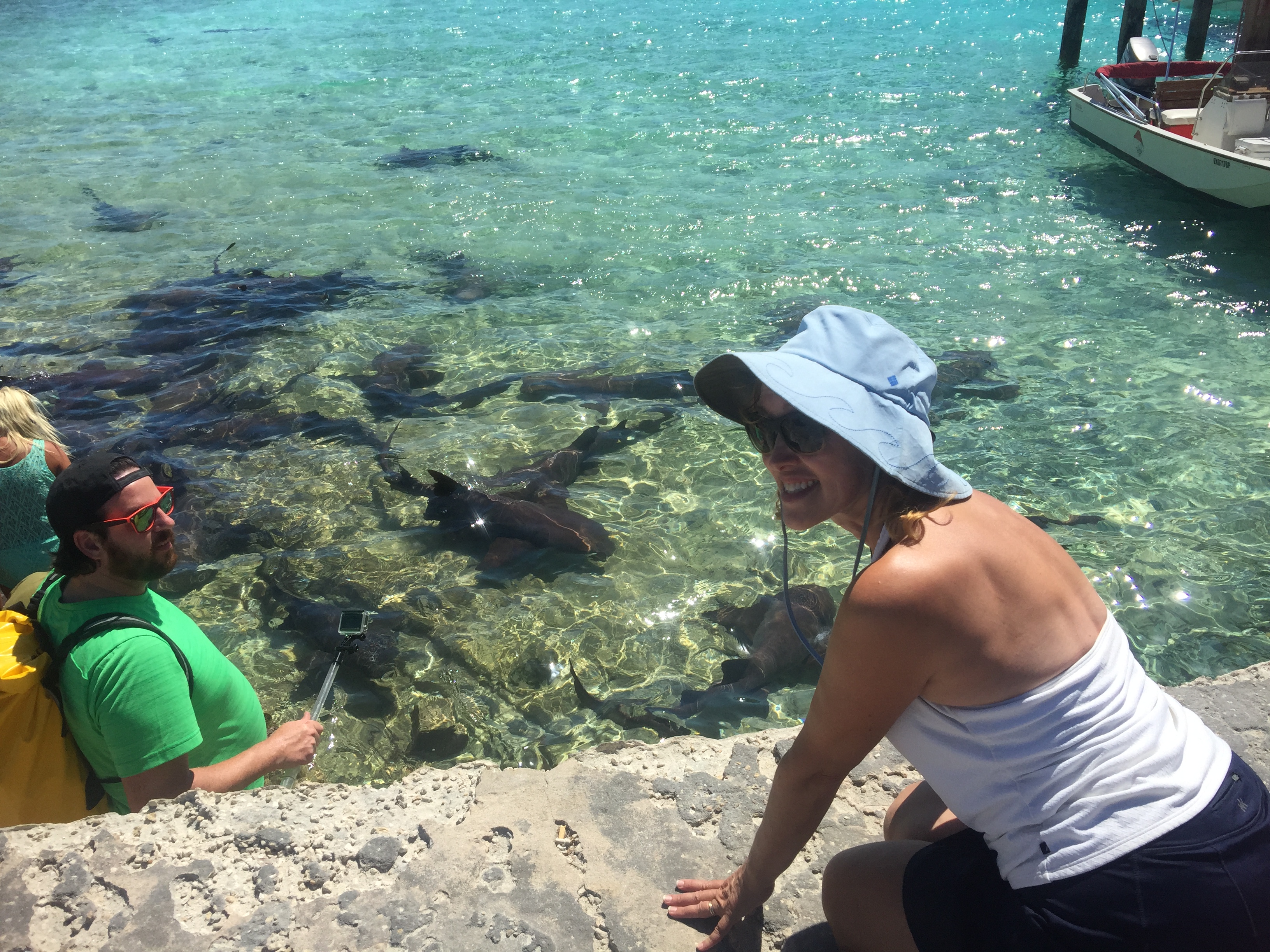
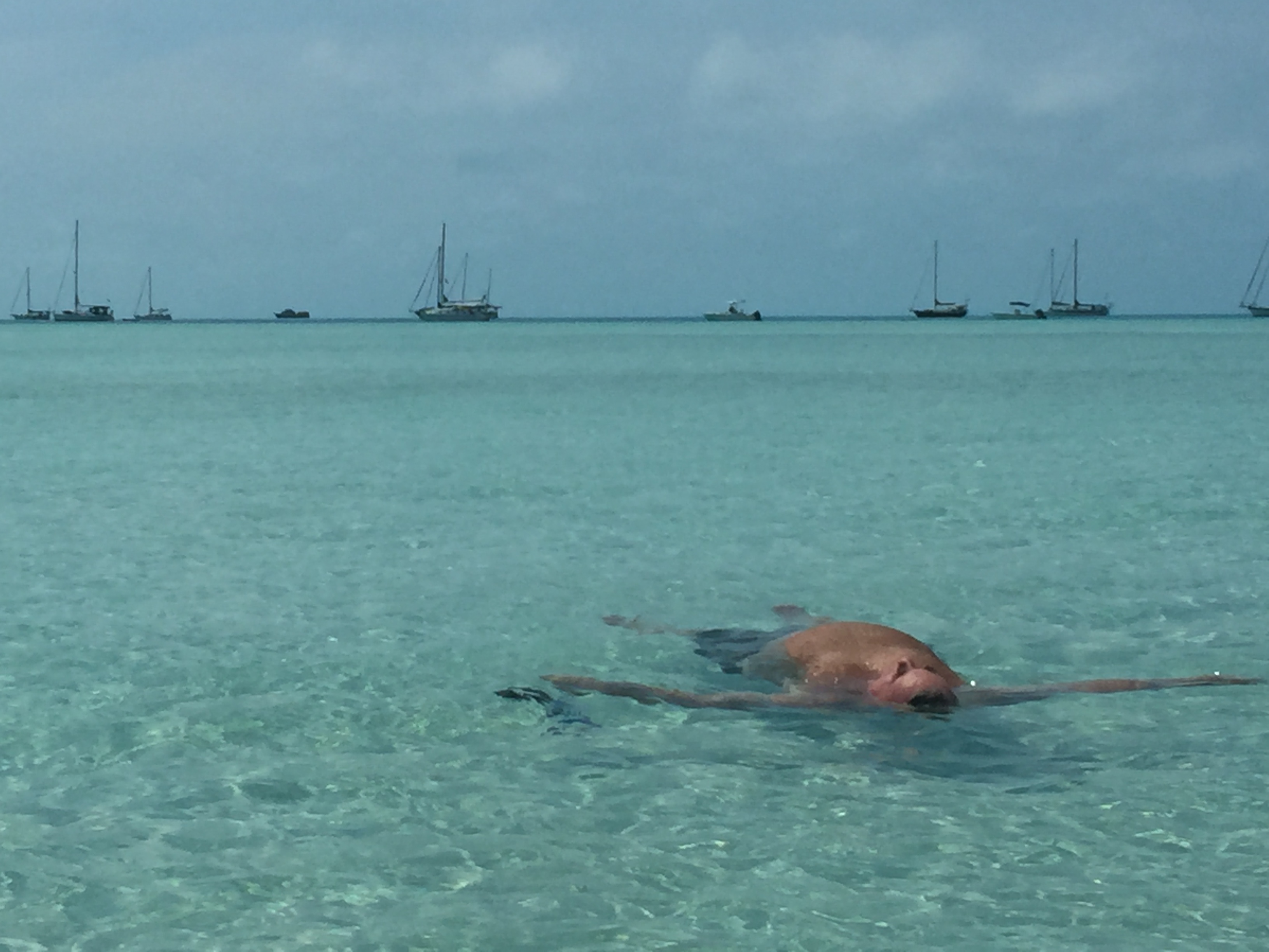
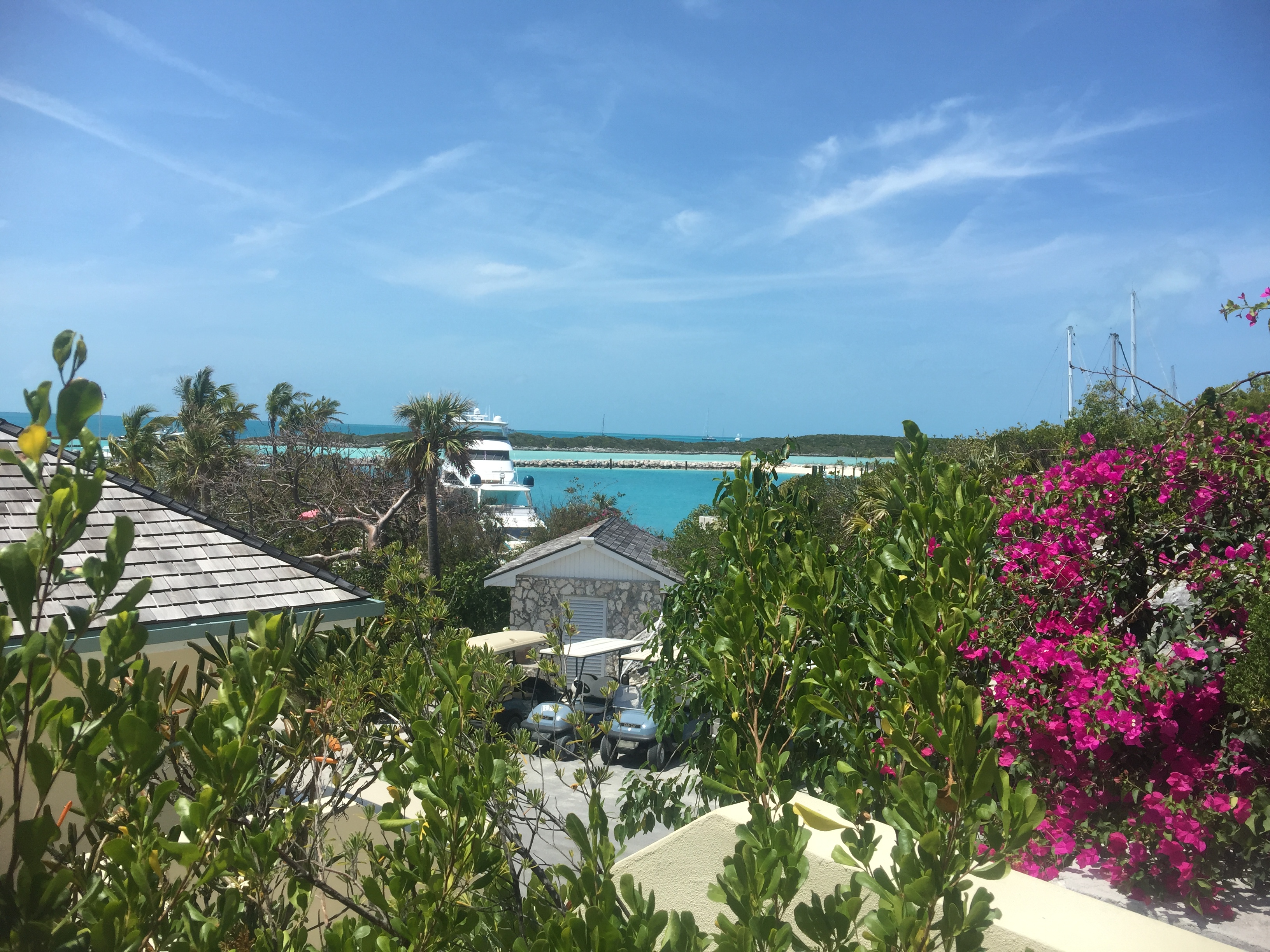
The next day we took the dinghy to Staniel Cay, a mile to the east. We tied up at the local bar/restaurant (a very neat little place), had a lunch of cracked conch, and walked around a bit (not much to see). But on the way back, the local fishermen were cleaning the days catch and below the cleaning station were over 20 sharks waiting to be fed. An then to my amazement, there were people down among the sharks, petting them. I called to Elena, and with more childish enjoyment than good sense in my opinion, she went down there with those folks and petted the sharks, too. Turns out they were nurse sharks and evidently very docile.
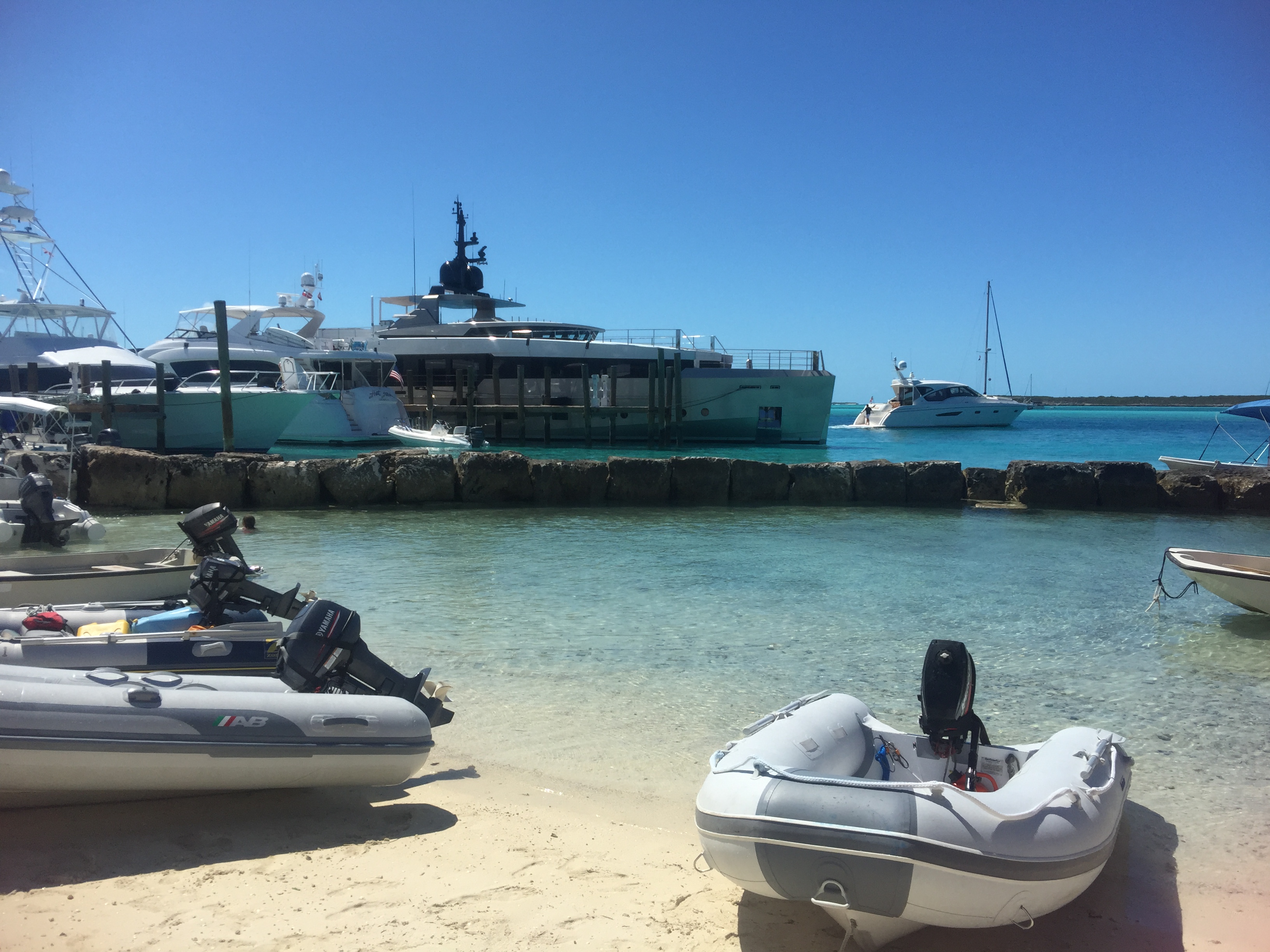 Dinghy landing at Staniel Cay
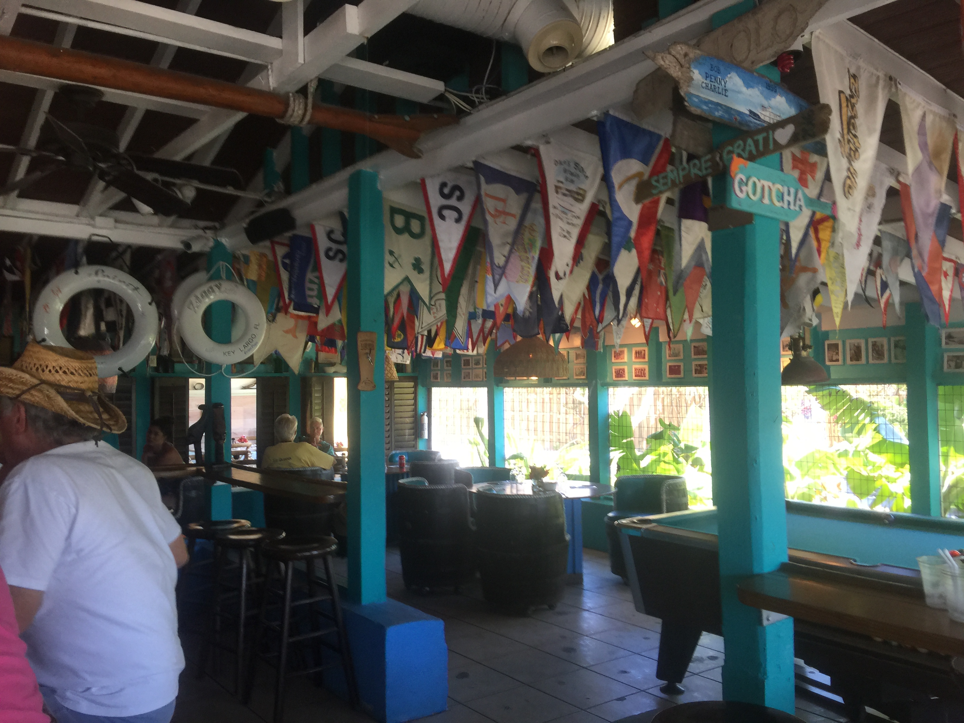 The bar at Staniel Cay
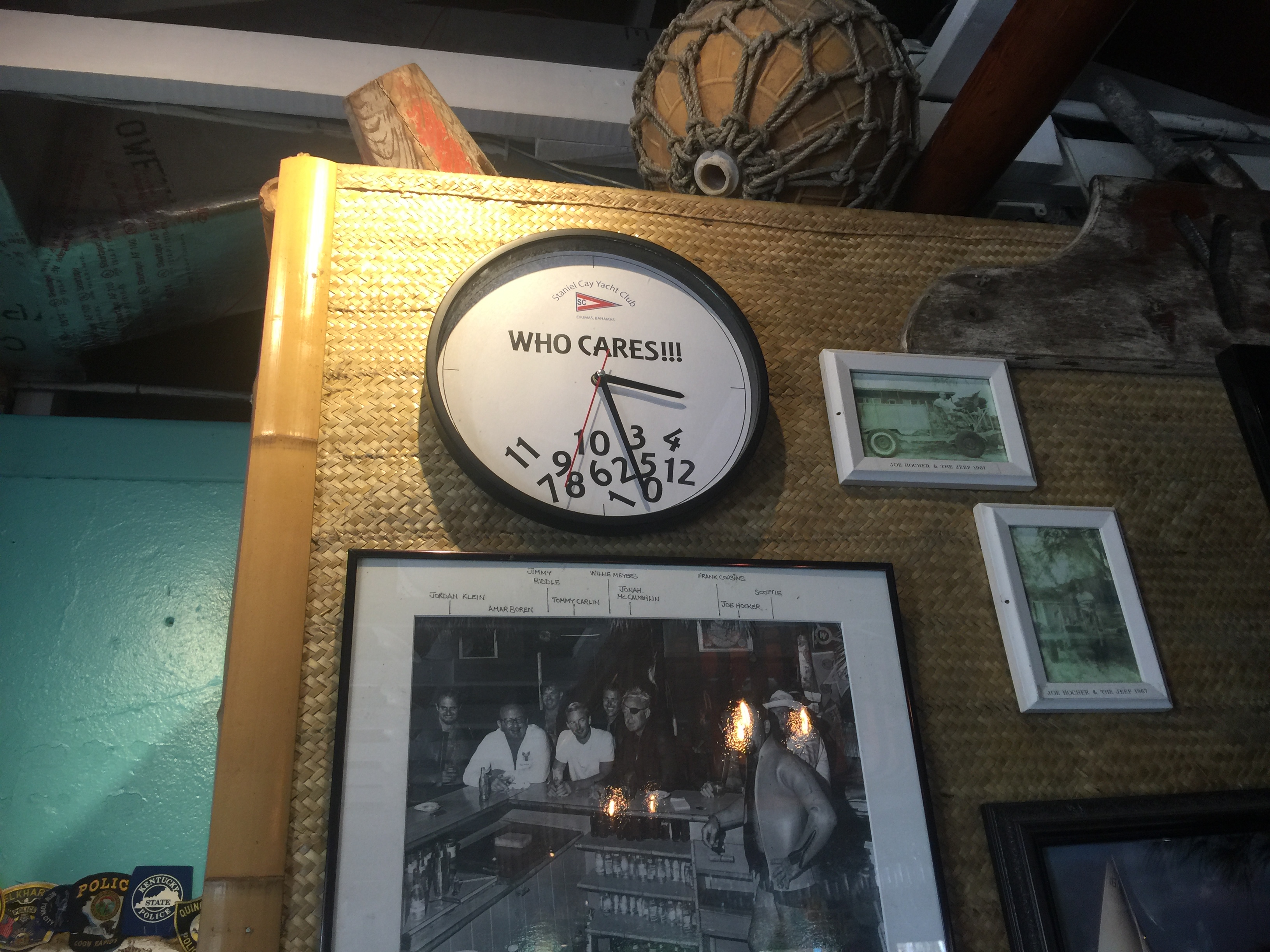 Bahamas Time. Note the photo: It is from the James Bond film “Thunderball” which was partly filmed nearby.
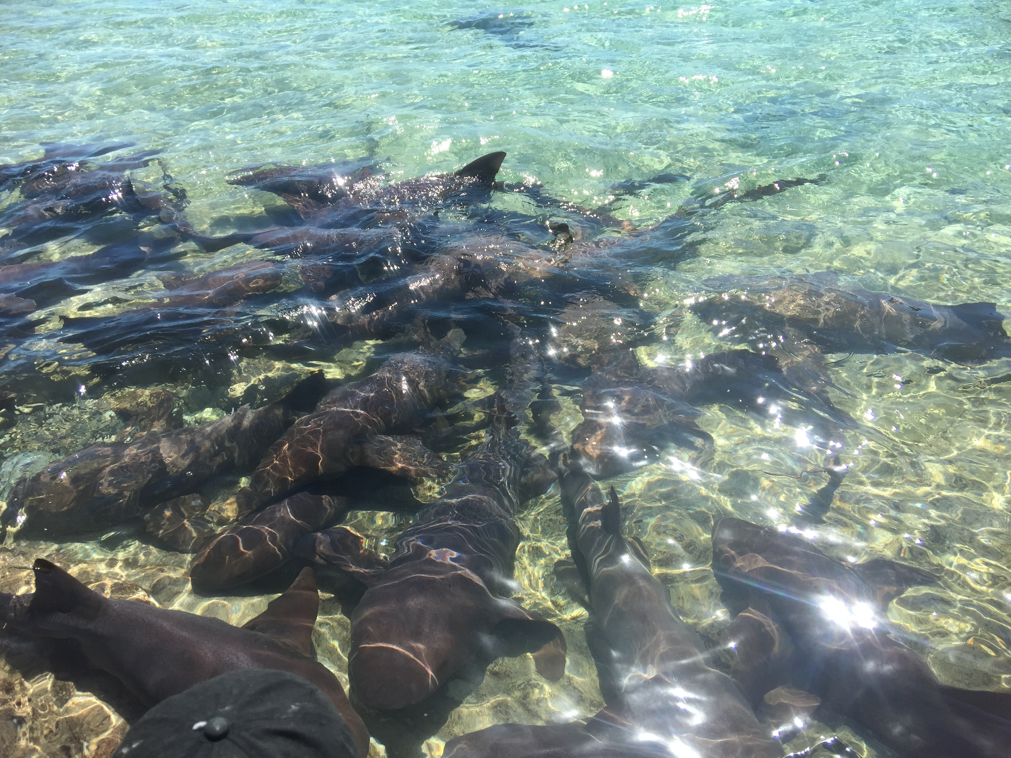
Download and Watch the Sharks at Staniel Cay
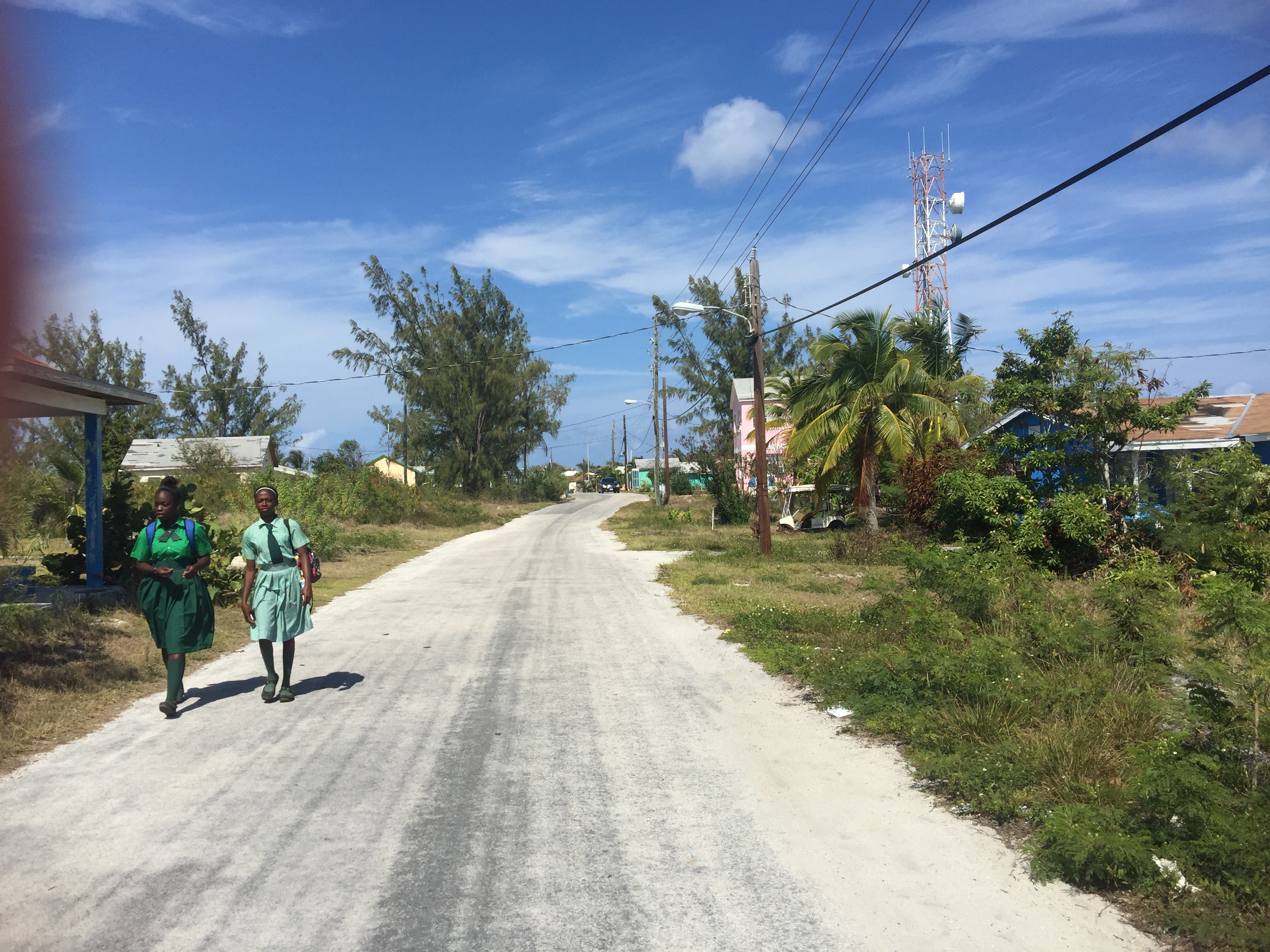
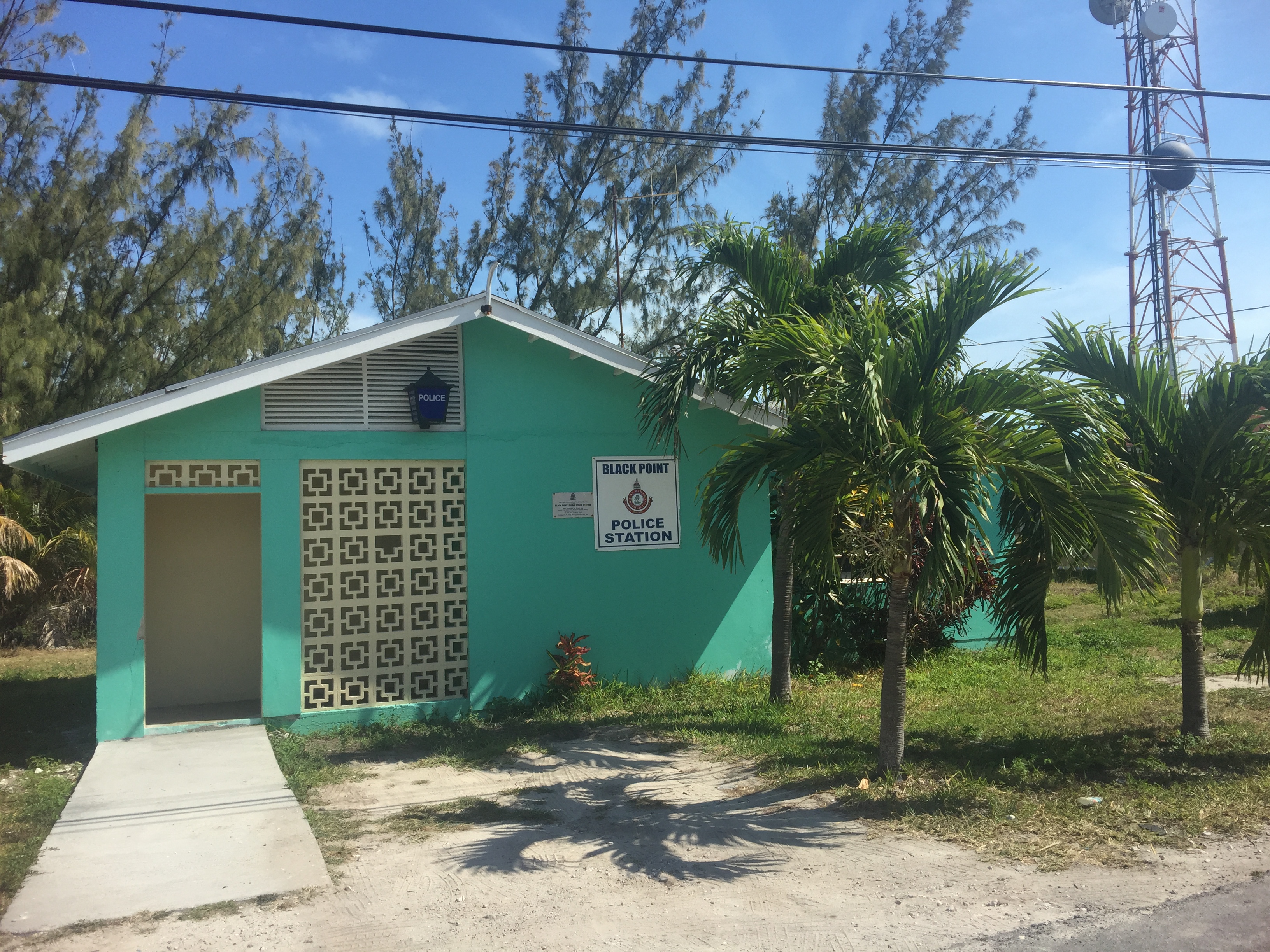
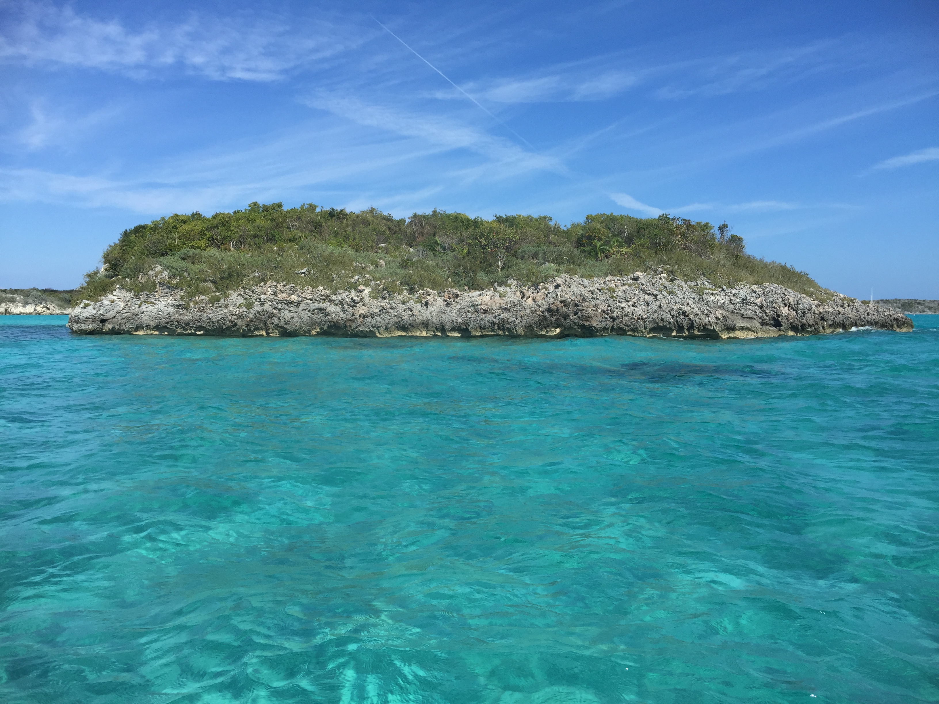
On April 1st, we moved to the next settlement down the chain, Black Point. The anchorage was beautiful with a large stretch of white sand beach. The flats off the beach stretched out for 200 yards and one could walk in knee deep water way out into the Banks. It was Elena’s favorite beach.
The water temperature has risen considerably, both due to our movement south and the season moving toward summer. The water temperature in the Abacos was consistently 70 degrees, too cold for either Elena or myself. The water temperature in the Exumas reached 80 degrees and was consistently about 75 degrees, very comfortable for a swim. Note: Elena would not let me swim when there were sharks in the area, even if they were nurse sharks.
That evening we carefully studied the weather, the calendar and options. The wind forecast predicted winds from the south for the next week and Georgetown was 50 miles (and at least 2 days) sail away. When we put all that to the calendar, our expected return to the Chesapeake Bay would be sometime in July. After some agonizing compromising, we decided that we had reached our southernmost point at latitude 24 degrees 6 minutes North and 76 degrees 34.3 West, about 50 miles north of the Tropic of Cancer. Elena threw some sugar on this bitter pill by saying “Georgetown will have to wait until next year”, certainly implying that there would be a next year winter cruise to the Bahamas.
The next day we went ashore into Black Point settlement, bought a few groceries (not much to choose from), weighed anchor, and headed north. At 4pm we were anchored back at Big Major Spot Cay. Before dark, we spotted a baby shark hanging out near us and fed it a few scraps.
Download and watch Elena feeding the baby shark
On April 3rd, we got underway for the national park at Warderick Wells, where we anchored close to shore ad toured the beaches.
On the 4th, we proceeded to Shroud Cay, another 10 miles but still within the national park and toured the mangrove creeks in the dinghy. The next day, we sailed in 15 knots of wind directly astern with a furled genoa, making 4.5 knots. We have always had a problem sailing directly downwind and we think we finally found the sweet spot.
Our next spot was Highborne Cay, a luxury resort and marina. We dinghied in for groceries and lunch. The restaurant was excellent, an open-air pavilion, perched on a hill, overlooking the Caribbean blue Exuma Banks. We went ashore to the beach in late afternoon for a swim. The waves, while not big, did throw water into the dinghy, drowning our Bahamas phone and further limiting our communications with the outside world.
On 6 April, we held an early reveille at 5am and were underway at first light at 6.30am, threading our way through boats anchored near us, to begin our 50-mile run northeast across the Exuma Banks to New Providence Island and Nassau. We chose our route to avoid the rocks new the surface found on the direct path over Yellow Bank. The route was longer and put us on the west side of New Providence Island. Winds were 15 knots from the Southeast (that is behind us) and we set the genoa furled about halfway out. At 11 am a wind shift allowed us to put the whole genoa out and we were making over 5 knots, more than enough to get us to New Providence before dark.
At 2pm, the wind piped up to 20 knots and we were “flying” at over 5.8 knots. The seas were beginning to build with some 6 foot rollers coming up under our stern. At times we were taking 30 degree rolls. At 4pm we exited the Exuma Banks and entered the deep blue waters of the “Tongue of the Ocean”, the deep sound between New Providence and Andros Islands. This was one of the “full circle” of events. I had been here some 42 years ago aboard the frigate USS Moinester, my first ship, to conduct sonar testing at the US Navy sonar range on Andros Island and in the Tongue of the Ocean. I was back to familiar waters.
By 5pm, we had rounded the west end of New Providence and moored at Lyford Cay Marina.
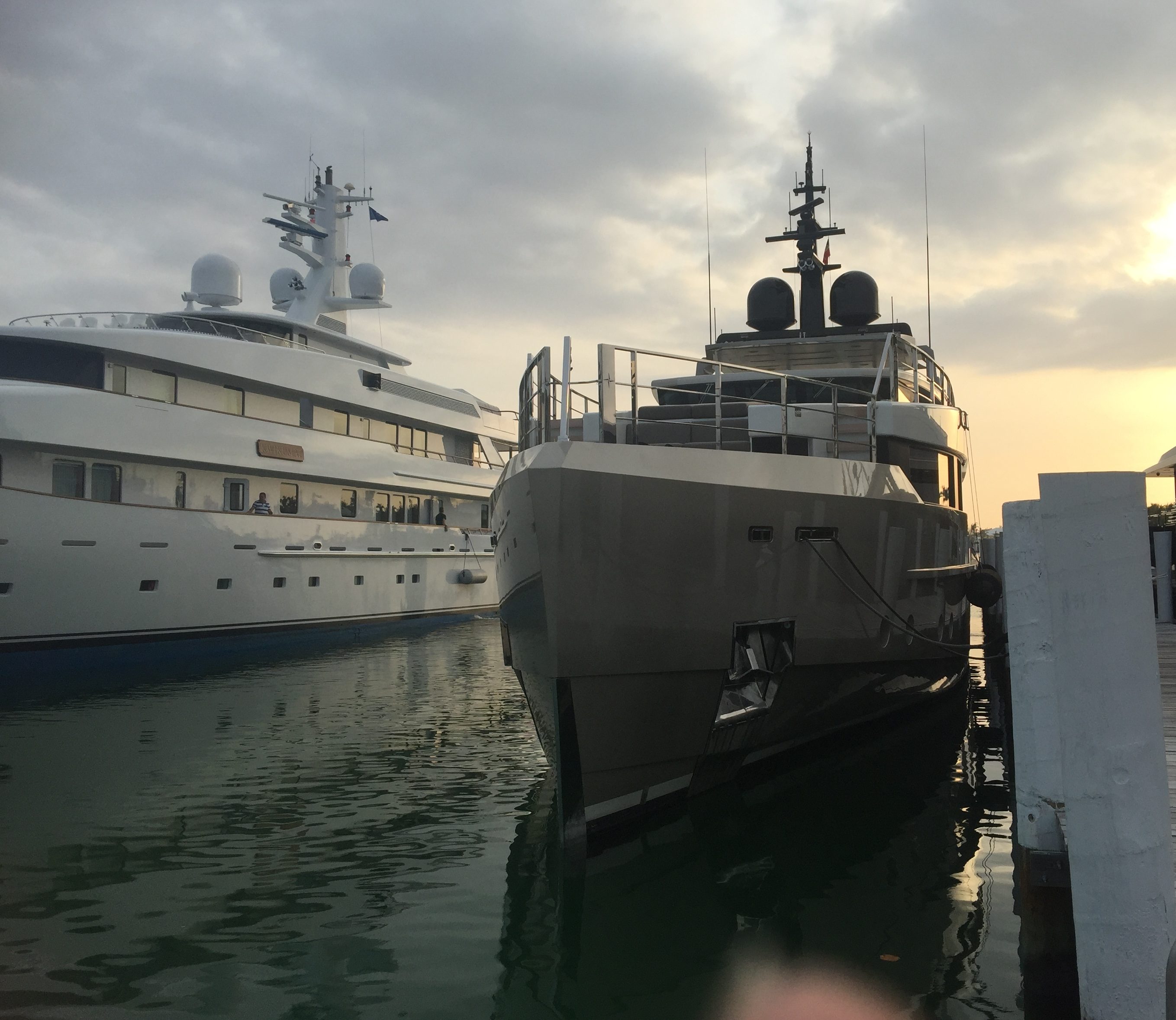
There were a number of superyachts at Lyford, including one which were amoung our favorites, “Jedi”. We had seen Jedi several times in the Exumas. When I first saw it in the Exumas, I thought it was a warship.
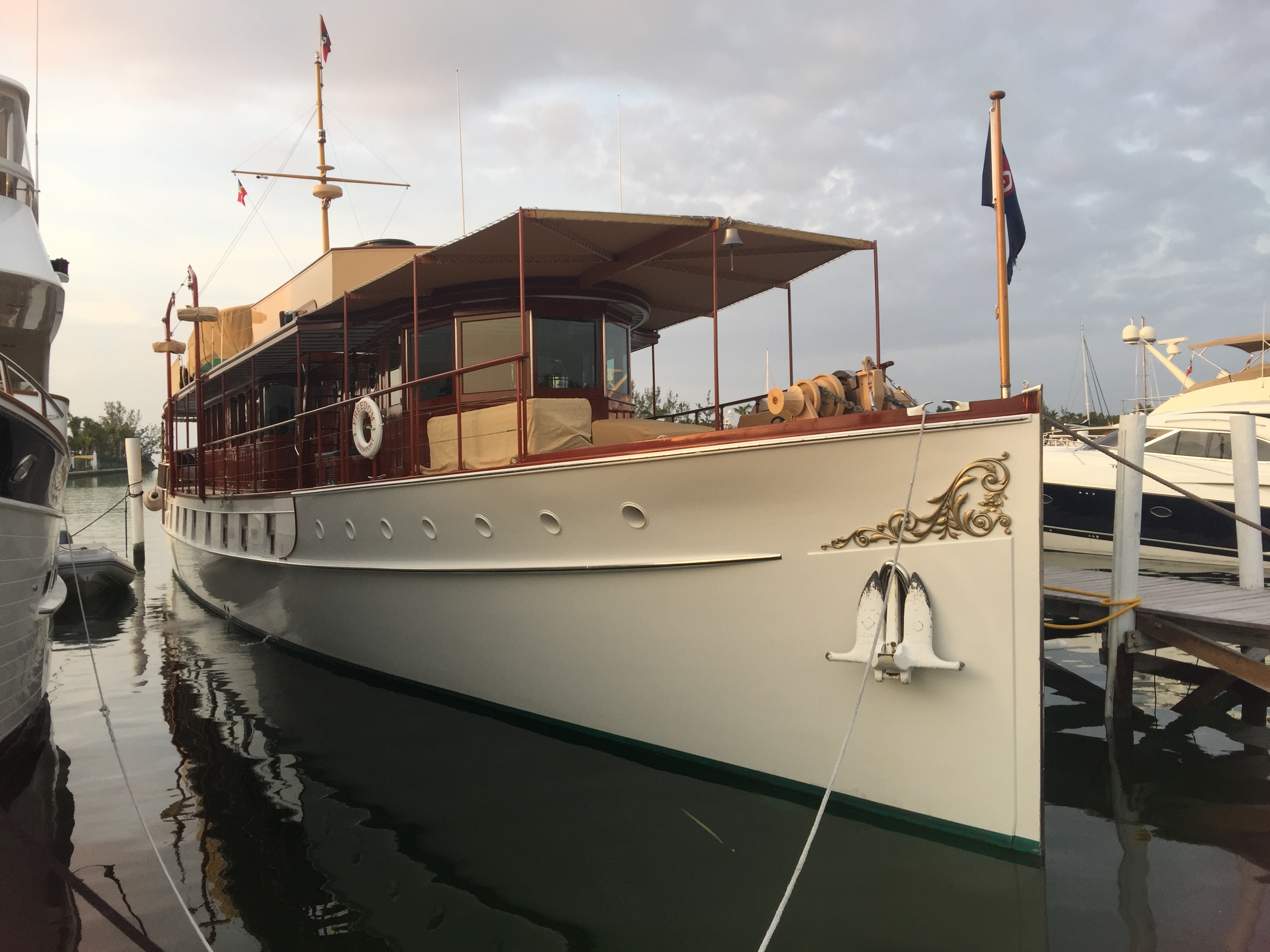
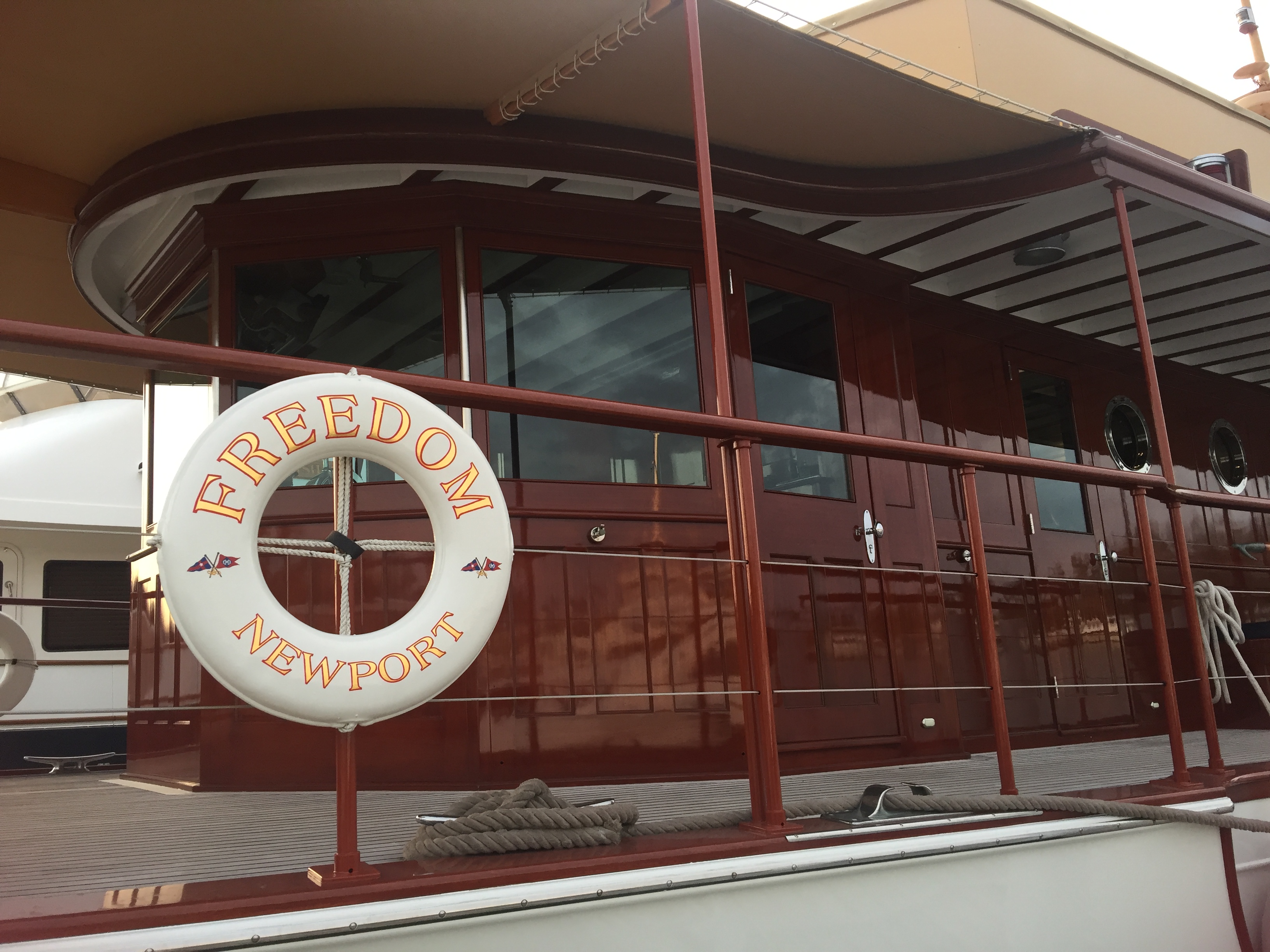
Also at Lyford, was the traditional yacht “Freedom”. We had last seen “Freedom” in Beuafort SC where we had parked just in front of her. She is a classic.
We were not careful about determining the pricing during our planning and were unpleasantly surprised the Marina, despite not having much in facilities, really did not like transients and charged an astronomical rate, 3 times the norm. We decided to stay one night to rest, but decided to move on to downtown Nassau the next day, despite an unpleasant forecast of north winds at up to 20 knots and seas 5-6 feet on the beam.
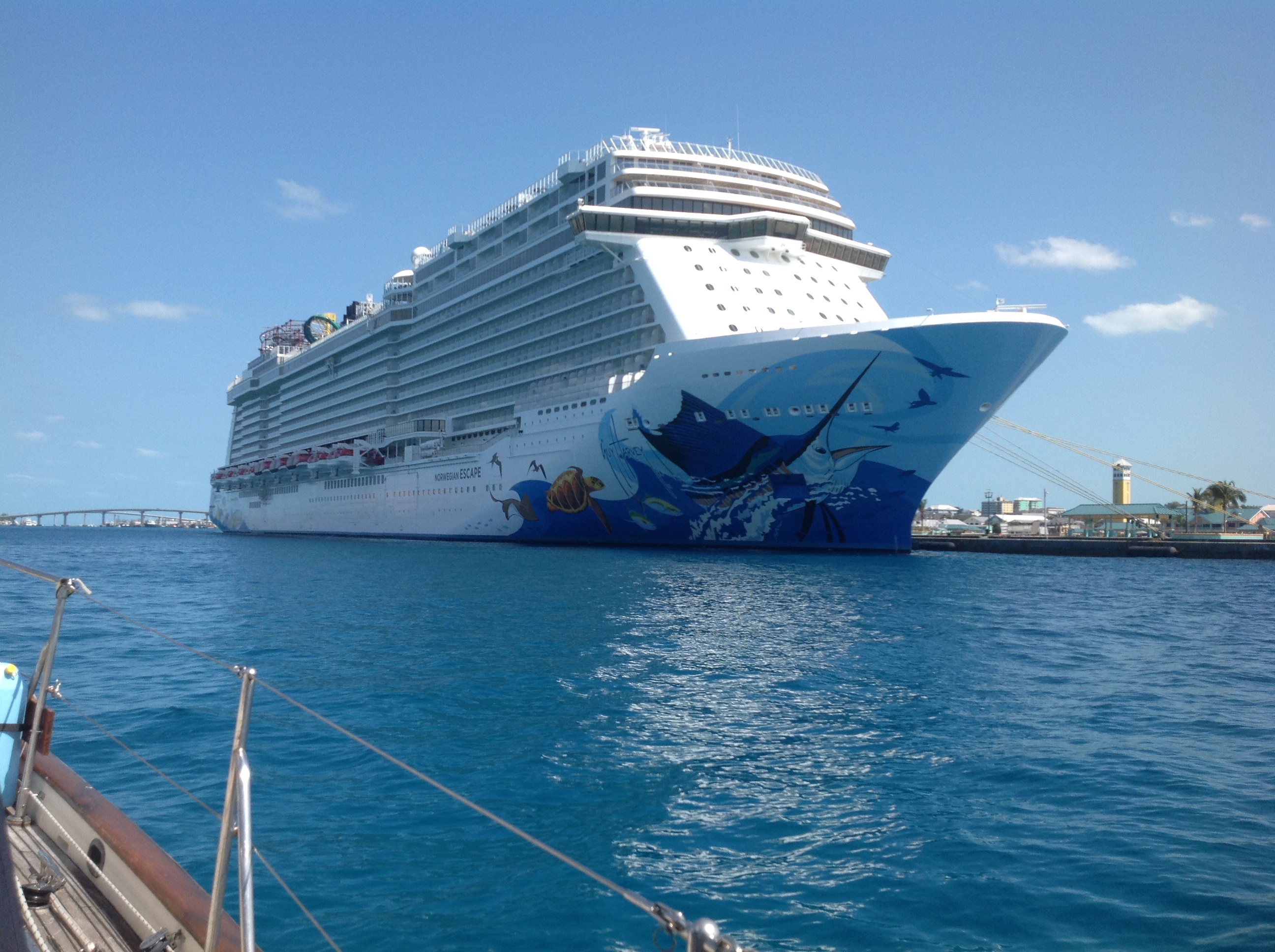
We left Lyford at noon for the four-hour trip to Nassau. We went through the narrow channel, clawing our way in a head wind and head seas, making 2-3 knots. When turned east, we began an uncomfortable four hours with beam seas that rolled us up to 40 degrees, throwing things all about the cabin. As we were getting ready to enter, we noticed one of the cruise ships seemed to be not where it should have been. The Disney Cruise ship had gotten underway and was heading right at us. For some reason, they had not turned on their AIS or at least it did appear on our chartplotter. When I noticed they had turned to port (that is to the north probably headed for the Disney island, “Castaway Island”, 70 miles to the north), I turned hard to starboard and passed under their stern. We contacted Nassau Harbour Control for permission to enter and proceeded into the harbor, passing close aboard to the large Norwegian Cruise line ship tied up at the cruise ship piers.
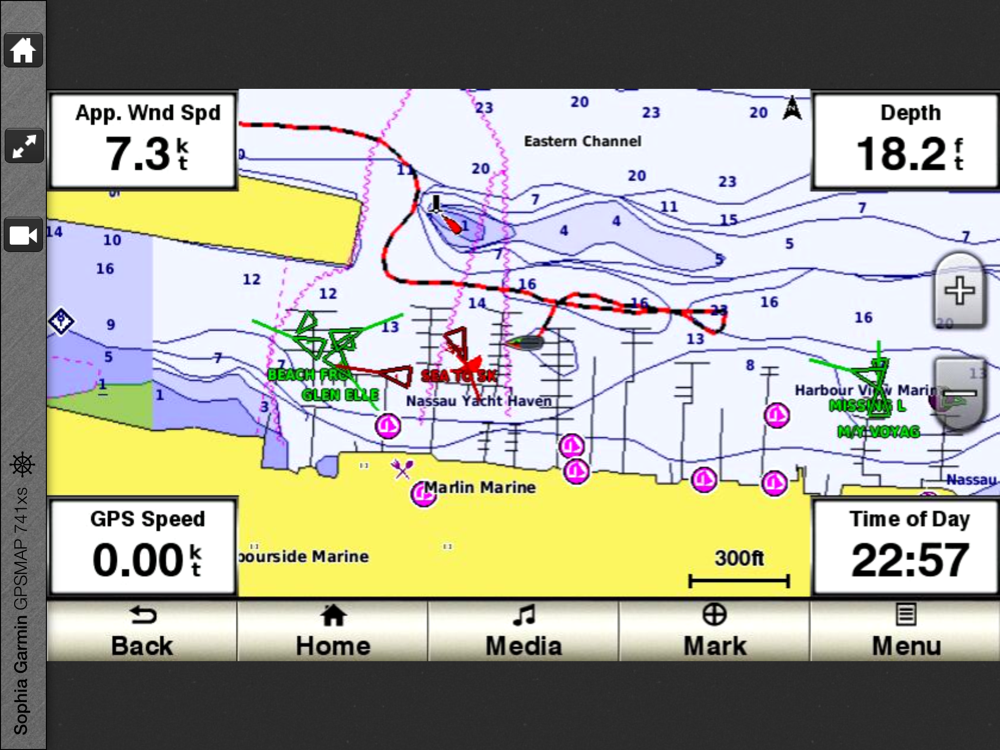
After passing under the two bridges connecting Paradise Island and Nassau, we contacted the marina for directions. We were going with the current at 5 knots with engine in idle, and, in the confusion with communicating with the marina over the radio (Elena does have a problem with the Bahamian accent and she does all the radio talking) , we passed the place where we were supposed to turn. This turned out to be fortunate, as we went down a bit further, turned around and came back in the current which gave us infinitely more control in coming into the slip, lesson learned from a nasty experience in Yorktown several years ago. With that extra bit of control, we docked in tight quarters without further incident, met our three set of neighbors (all fellow cruisers) , and settled in for a long stay in Nassau.
The forecast is not good for proceeding onward with winds to 20 knots and seas 5 feet. We might be here as much as a week.
We look forward to having you at our pier in Jackson Creek, Deltaville, whenever you arrive.
Fair winds, Godspeed