Updated on November 24, 2016
On to Wrightsville Beach and Southport
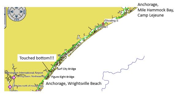
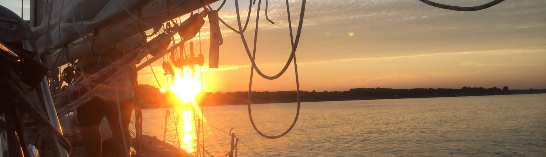
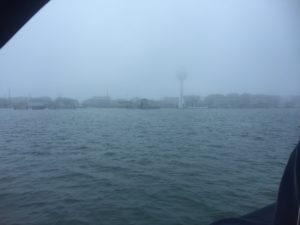
On 12 Nov, we held early reveille at 0515 and were underway from Mile Hammock Bay in Camp Lejeune NC by 0630. The Intracoastal Waterway (ICW) runs next to the Atlantic in this part of the ICW and there are many inlets that feed into the ICW. Many of these have shoaling (shallow water) because of the tides running in and out. We were on the watch getting fed information from a social web service called “Active Captain” that works with our GPS chartplotter, presenting notes from other cruisers on to our charts.
We got to the Surf City Bridge too early and had to hold position for 20 minutes in a stiff breeze and a 3 knot current, getting close to shallow water or other boats several times. We passed through the Surf City Bridge at 1230, but at 1300, before the Figure Eight Bridge near Wrightsville Beach, we touched bottom at Marker 122, the first time we have run aground since leaving Herrington Harbour a month before. Fortunately, we drove right over the shallow area and quickly got to deep water. We timed our arrival at the Figure Eight Bridge so that we arrived 5 minutes before its scheduled opening, a much better tactic.
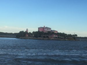
We arrived in Wrightsville Beach at 4pm and anchored in 20 feet of water with 100 feet of chain out in company of 11 other boats. After three hard days of motoring in the ICW and no water taxi service, we declared the November 13th a day of rest and stayed on board, planning the next leg. At 0200 winds increased to 25 knots and we set an “anchor watch”, which really means that I sit in front of a chartplotter making sure we don’t drag the anchor. But Elena, who does the driving when we anchor, had done well and the anchor was fully set and with 100 foot of chain, kept us secure through the night.
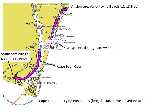
On November 14th, it was early reveille again at 0600, but fog delayed our departure until 0930.
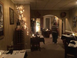
There is a canal called Snows Cut between the ICW proper and the Cape Fear River which has had some shoaling because of Hurricane Matthew. We had downloaded recent survey charts from the US Army Corps of Engineers that provided precise points to go through. We plotted these waypoints in our chartplotter and went through Snows Cut without incident, entering the Cape Fear River at 1400.
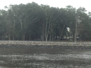
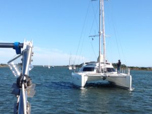
We arrived at the Southport Harbor Village Marina, meeting up with fellow cruisers from Canada (“Penelope” and On Y Va” we had been with for several days as well as the well-worn traveler “Autumn Bourne”).
This was a great place to stay. Their Joseph’s Italian Bistro is absolutely outstanding and we had a great meal of Shrimp Scampi and Lasagna.
–We stayed in on the 15th waiting for good winds for our next leg which was to be offshore. We spotted “Aurora”, who had run hard aground on the 13th and required a tow service to free up, southbound on the ICW. We spent the evening make preps for our offshore leg, filling up water tanks and checking equipment.